GIS planning overlays
On paid plans, Airship draws live UK planning data as vector overlays directly on your aerial map, so constraints are visible while you lay out the site.
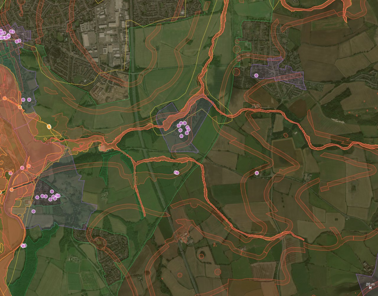
Turning overlays on
In Site boundary, switch on the GIS overlay, use choose layers to pick exactly what you need, and set the overlay opacity.
The layers
| Group | Layers |
|---|---|
| Flood & water | Flood Zones 2 & 3, flood storage areas. |
| Landscape & nature | Green belt, National Landscapes (AONB), National Parks, SSSIs, ancient woodland, nature reserves, SACs, SPAs, Ramsar sites, heritage coast. |
| Heritage | Conservation areas, listed buildings, scheduled monuments, historic parks & gardens, World Heritage Sites. |
| Planning & land | Brownfield land, tree preservation zones, Article 4 directions, built-up areas, and utility/soil/crime layers. |
Every area and pin has a hover tooltip naming the designation.
Pro feature. The map overlays are on paid plans; the text site-intelligence summary is available to all. See Plans & billing.
Try it on your own site
Turn a boundary into an optimised UK layout in minutes — free to start.
Open the app →